No Snow Emergency for Watertown, but Winter Parking Ban Still in Effect

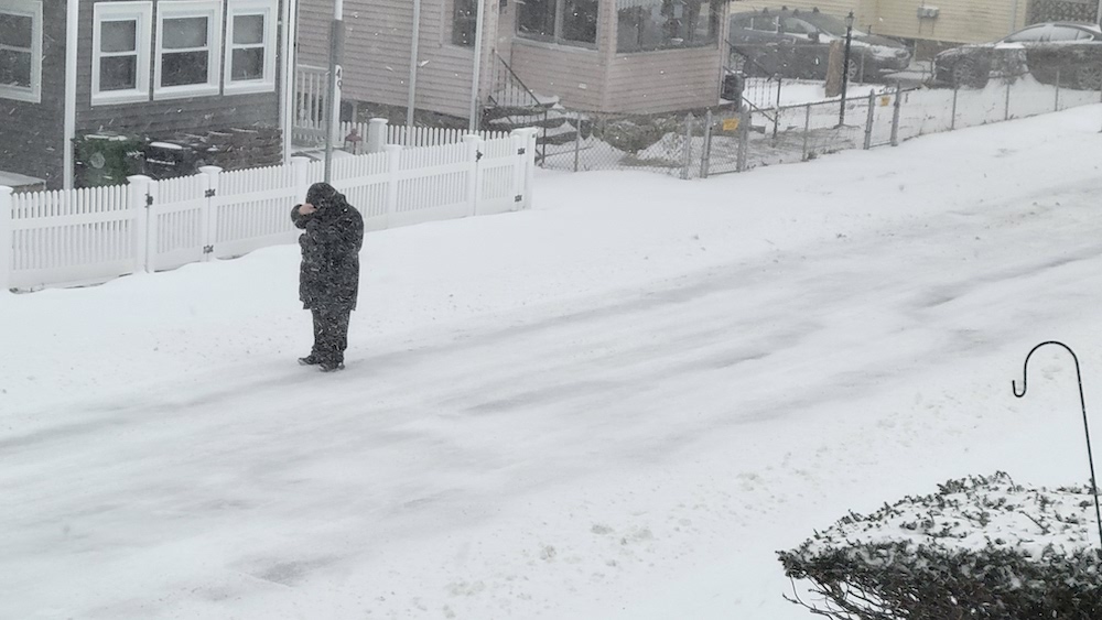
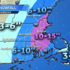
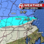
There will not be a snow emergency for Saturday’s storm, but cars still must be off the street, according to the announcement from the City of Watertown. See more information below. The City of Watertown would like to advise you of expected snow starting later today, Saturday, February 15, 2025, which will turn into icy conditions heading into Sunday, February 16, 2025. The City is not declaring a Snow Emergency Parking Ban, but the Winter Overnight Parking Ban remains in effect and will be strictly enforced. We strongly encourage residents to park in their driveways or municipal parking lots by the time the storm begins around 6pm, if possible.

Share Your Snow Photos from the Blizzard

Charlie BreitroseA person bundles up against the winds during the blizzard on Jan. 29, 2022. Not much snow had piled up as of 10 a.m.

Two feet or more of snow is expected to fall on Watertown on Jan. 29. Share your photos taken from the warmth of your home, or from the chilly outdoors if you are more adventurous.

First Winter Storm Due to Hit Watertown Sunday, Parking Ban Starts

A storm that will stretch from Sunday into Tuesday could drop as much as six inches of snow on the Watertown area, and make travel tough for people returning from Thanksgiving trips. At the same time, the winter parking ban begins in Watertown. A Winter Storm Watch has been issued by the National Weather Service from 11 a.m. on Sunday to 7 a.m. on Tuesday. Watertown is in the area forecast by WCVB Channel 5 to get 3-6 inches of snow, but areas of northern Massachusetts and New Hampshire could get more than a foot. The Cape, on the other hand, will get an inch or less.

Snow Cleanup Continues for Watertown DPW After Storm Drops More than a Foot

With a storm that lasted most of Thursday, and dropped North of a foot of snow, Watertown’s Department of Public Works crews have been busy the last couple days. 

Snow totals in the area show that more than a foot of snow fell in Watertown. The National Weather Service reports that West Newton got 15 inches and it measured 13 inches in Arlington. The storm was a tough one to handle, said DPW Superintendent Gerry Mee. “It was not the biggest accumulation but because of the cold temperatures and intensity of the storm it was very difficult,” Mee said. The snow emergency and all-day parking ban will remain in place for now because roads have been narrowed by the snow, Mee said.

Expected Snowfall Amount Increased in Thursday’s Storm

The snowstorm rolling through the area Thursday will be heavier than first thought, according to forecasters. The National Weather Service forecast calls for 8-12 inches of snow, with areas as much as 14 inches, during the storm that will start at in the early hours of Thursday and continue for 24 hours. On Tuesday, the forecast was for 5-7 inches. The snow map produced by WCVB Channel 5, Watertown is in the area forecast to get 10-15 inches of snow. Blizzard conditions are possible during the storm.