Tropical Storm Warning for Watertown as Isaias Moves North

The track of Isaias, which will impact Eastern Massachusetts on Tuesday night. The National Weather Service issued a Tropical Storm Warning for all of Southern New England, though the current forecast is that the brunt of Isaias will be felt in Western Massachusetts and/or Upstate New York. The center of the storm is expected to pass through Southeast New York and Western New England Tuesday evening, the National Weather Service (NWS) announcement said. The heaviest impact will last around 6 hours, and locally it could generate winds of 25-35 mph, with gusts up to 45 mph (or higher depending on the track of the storm), according to the NWS warning. In Boston, the rainfall is forecast to be less than a quarter inch, according to WBZ Channel 4’s forecast.

Snow Closes Watertown Schools, Delays Opening of Town Buildings

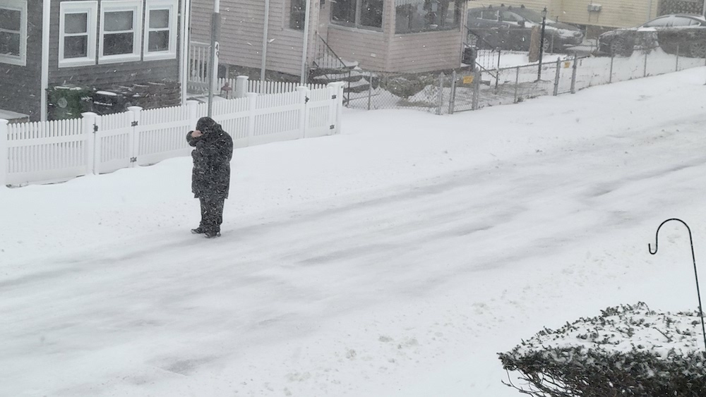
Snow started early Tuesday and will get much heavier during the day. Watertown School officials closed the Public Schools Tuesday due to the snowfall. Also, town facilities will open late due to the storm. A Watertown Public Schools Twitter post sent out Monday night reads:

“Due to the timing of the storm that is predicted for tonight and into the morning hours, all Watertown Public Schools, including the offices, will be closed tomorrow, December 3.” Watertown Town Hall, the Library and the Senior Center will open at 10 a.m. due to the snow storm, according to an alert sent out by the Town Administration.

First Winter Storm Due to Hit Watertown Sunday, Parking Ban Starts

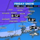
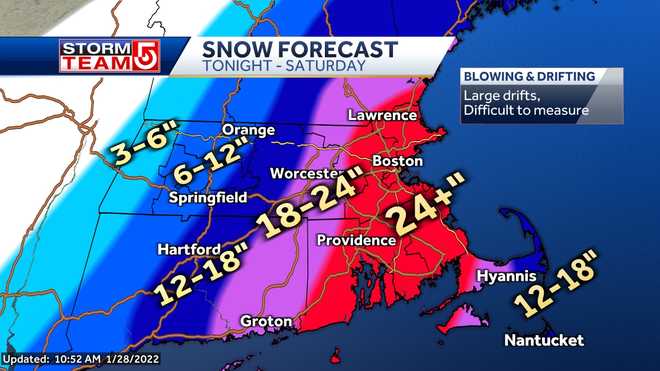
A storm that will stretch from Sunday into Tuesday could drop as much as six inches of snow on the Watertown area, and make travel tough for people returning from Thanksgiving trips. At the same time, the winter parking ban begins in Watertown. A Winter Storm Watch has been issued by the National Weather Service from 11 a.m. on Sunday to 7 a.m. on Tuesday. Watertown is in the area forecast by WCVB Channel 5 to get 3-6 inches of snow, but areas of northern Massachusetts and New Hampshire could get more than a foot. The Cape, on the other hand, will get an inch or less.

MBTA Announces Extra Subway Service for Snow Storm

The Massachusetts Department of Transportation (MassDOT) is advising the public that weather forecasters are expecting a winter storm to impact travel across the Commonwealth throughout Tuesday, February 12. Snow is expected to begin falling during the Tuesday morning hours in Western Massachusetts and the storm will move eastward during the day, with snowfall rates at some times of one inch per hour, and with snow changing over to sleet in most regions. Members of the public are advised to minimize travel, use public transportation if possible, consider working from home if that is an option, or consider leaving work early on Tuesday. Driving conditions will become hazardous in Western Massachusetts around 10 a.m., Central Massachusetts around 1 p.m., and in the Boston area and Eastern Massachusetts around 3 p.m.

“We are asking people throughout the Commonwealth to make smart, safe decisions on Tuesday such as taking advantage of public transportation, working from home if possible and leaving early for their afternoon commute,” said Transportation Secretary and CEO Stephanie Pollack. “Everyone should check a weather forecast and travel conditions before heading out to avoid hazardous driving conditions, as there will be varying types of precipitation in all regions of Massachusetts, including snow, sleet, and freezing rain throughout the daytime and evening hours. The MBTA will be running subway lines in the Boston area at increased capacity starting at noon and all motorists should consider leaving early for their commute home and allowing plenty of extra time to travel.”

“MassDOT is currently conducting preparation activities for the deployment of snow and ice crews in advance of Tuesday’s winter weather,” said Highway Administrator Jonathan Gulliver.