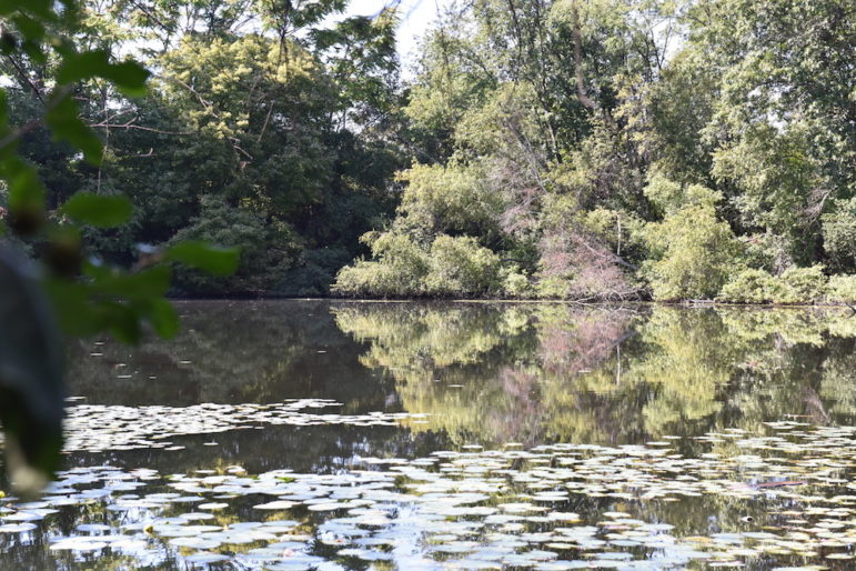
With “water” such a prominent part of the name of the town, one might expect it to be flush with wetlands. The Charles River, of course, is Watertown’s most significant body of water, but there are several others that are not as visible.
Some can be seen from roadways around town, if you know where to look, others are tucked into the woods, and a number are surrounded by graves. Leo Martin, chair of the Town Conservation Commission recently took Watertown News on a tour of the town’s wetlands.
One of the commission’s main functions is protecting these bodies of water of water, Martin said. They have jurisdiction over land within 200 feet of a body of water that may flood, such as the bank of the Charles River or a stream, and within 50 feet of a pond, Martin said.
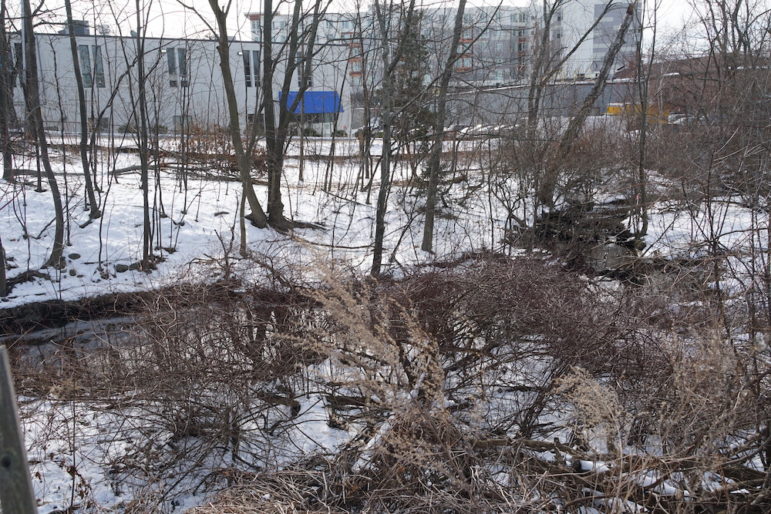
This means any proposed building project within that area must come before the Conservation Commission to be reviewed and get permission to proceed. Some buildings have been built right next to some of the wetlands, but that was done before the Massachusetts Wetlands Protection Act passed in 1963.
Martin notes that the Conservation Commission currently has one open seat. Any Watertown resident interested in learning more and applying to sit on the Commission, can email Laurel Schwab, Conservation Agent, at lschwab@watertown-ma.gov.
Potential CPA Project
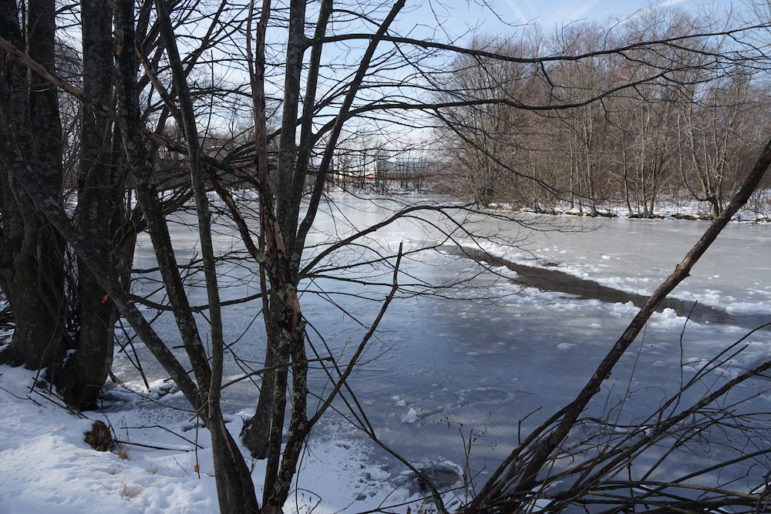
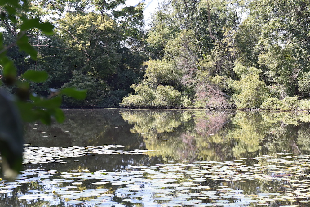
Tucked back between Pleasant Street and Waltham Street are a couple of Watertown’s ponds. One, Walker’s Pond, is the largest pond in Watertown, Martin said. The body of water which is familiar to Martin, who grew up not far away on the Westside of town.
“As kids we would walk up to the edge of the pond, put our skates on and go skating,” Martin said.
The pond is now lined with trees, but that was not always the case. It sits on land that used to be owned by Raytheon.
“They cut the trees and brush and used to test radar there,” Martin said.
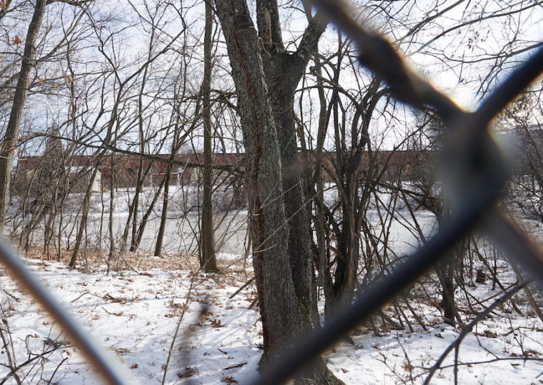
An abandoned building from the Raytheon days can be seen near the southeast portion of Walker’s Pond, along with an unused parking area. About 75 percent of the pond sits in Watertown, with the rest in Waltham. There are also two other smaller ponds in the area, with one visible behind a fence south of the Bell Watertown property and the other surrounded by trees just west of Walker’s Pond.
The land remains privately owned, but Martin said he could see it as a place for the Town to spend its Community Preservation Act (CPA) funds. In 2016, Watertown passed the CPA, and added a 2 percent property tax surcharge. This raises about $2 million a year to be used on three areas: affordable housing, historic preservation and open space/outdoor recreation.
“A dream I have is maybe the town could buy the property,” Martin said. “There are very few spots like this.”
The pond became polluted, so it is not safe for swimming, Martin said, but he said he could see other recreation uses, such as putting a path around it. It would also provide habitat for birds and other species living near wetlands.
Nearby is one of Watertown’s few remaining streams, and those are only short portions of the original length.
“There’s an old stream in the Gore Estate property,” Martin said.
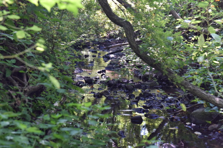
Other streams have been covered over and put into underground conduits which lead to the Charles River, Martin said
The small stream still above ground can be seen from Waltham Street among a line of trees. It sits across from the Bell Watertown apartment complex (at Woodview Way).
“We have little jurisdiction over it, because it is considered agricultural land, and under the Wetlands Protection Act we don’t have jurisdiction,” Martin said. “It used to be a golf course.”
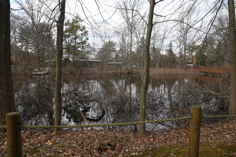
Not far from Watertown Square sits a pond on the campus of Perkins School for the Blind. The school has constructed a dock for students at the school to learn about environments around bodies of water, Martin said.
Eastside Ponds
Another set of wetlands are grouped together on Watertown’s Eastside. Driving along Coolidge Avenue, a little east of the UPS facility, is Sawins Pond.
“There used to be hotel there and it used to be used as a skating area for guests,” Martin said.
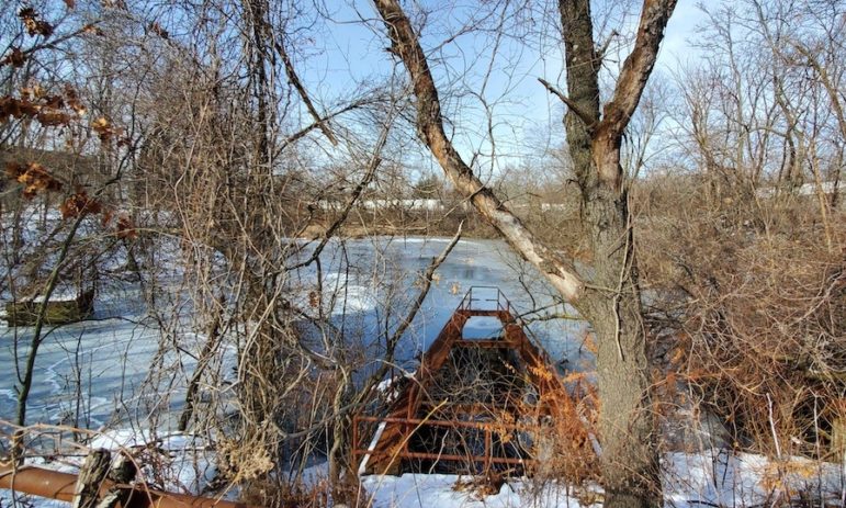
The level of the pond is controlled by a dam that is made up of stop logs — planks of wood stacked on top of each other. The dam can be seen from the roadway.
Water flowing out of from the pond goes along Sawins Brook, another one of Watertown’s streams. After the pond, heads south and can be seen near the corner of Greenough Boulevard and Arsenal Street as it flows toward the Charles River.
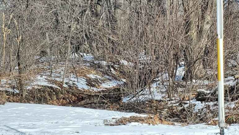
Another body of water is Williams Pond, which looks more like a stream. It sits east of the Target parking between Elm and Arlington streets.
Three more ponds are located on the far east end of town, in the Mount Auburn Cemetery. While the cemetery has an address in Cambridge, most of its land sits in Watertown.
I certainly support the use of CPA funds to preserve these Watertown ponds and
creeks. However, I think the Town Administration and Council has little empathy
for such preservation. Not sure about the Committee that manages CPA funds, but
not sanguine there is strong interest. Fingers crossed.
Now, this is a proposal I LOVE!!! The ponds and wetlands may be polluted from past industrial waste, but they could still be made accessible to the public. This is WATERtown, after all–we should make as much of our riverfront and other bodies of water as we can. Everyone would benefit.
Charlie, this is a terrific article. The information combined with the photos made me feel I was on the tour with you and Leo Martin. I hope it encourages an environmentalist or two to apply for a seat on the ConCom, that it gets people out to explore the hidden pockets of Watertown, and that it lights a fire under our Town Council and town management to buy, cleanup, and protect what little land we have left in our town – pronto. Having lived here for 45 years, the quality of life is degraded when every inch of land is bought by developers.
At the 1st Community Preservation Committee (CPC) Public Forum 01/29/2020, participants indicated that open space and natural resource protection is the highest priority for CPA funding (40%), followed by community housing (26%), historic preservation (18%), and outdoor recreation (16%). The people keep beating the drum for this – the town needs to act! I hope more people will go to watertowncpa.org to fill out our survey, learn more about the CPC, and let us know what they think the needs, ideas, and priorities should be for Watertown. Remember folks, this is one tax you can have something to say about i.e., how to spend the funds. What are your priorities regarding open space and natural resources, outdoor recreation, historic preservation, and affordable housing? Be proactive!
Wow! I’ve lived in the East End and walked in those areas my whole life and I’ve never seen any of the ponds there! I didn’t even know about them! When the weather gets warmer, I’ll have to check them out!
I love the idea of restoring Watertown’s wetlands in both the east and west sides of town! With all of the bike and walking paths going through town, natural wetlands can really enhance these areas. I have walked and driven past Swain’s pond hundreds of times without noticing that there was water there! This pond already has a nice growth of trees around it, so with some care and attention, this could become a lovely little natural oasis.
My question is about how much it would cost to remediate the pollution in this and other ponds? If we are going to restore these areas, is it cost effective to remove or reduce pollutants at the same time?
I second all the wonderful comments about preserving our wetlands. Let’s develop a long range plan to do the work. The CPA is the perfect vehicle.
I’d also like to see us buy back the rail road right of way along Arsenal Street from Irving to the parking lot behind the lamented New Yorker Diner to allow a quieter and safer dedicated bike path for recreation and commuting. Again, we need a plan to get the bike path into Watertown’s city center, over Mt Auburn Street at Baptist Way and over to the Community Bike and Ped Path by the library, city hall, the B&G Club, and the Watertown mural. The new Mt Auburn redo has the bike path ending at Common!
So let’s get committed to a plan and get it done.
This seems to be an area to concentrate on open space with the funds, take over Cannalonga Park & we’re on our way! Great spot with the ponds. On the buy back of the rail line, forget it, not worth losing the money it would cost. On Baptist Walk not way, those small businesses depend on those spaces and I along with others that support them. The parking spots finally got re -striped big thanks there!