Charlie Breitrose
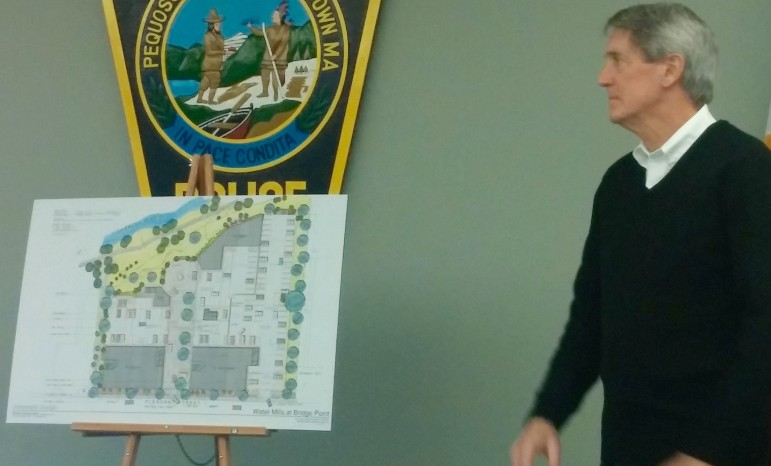
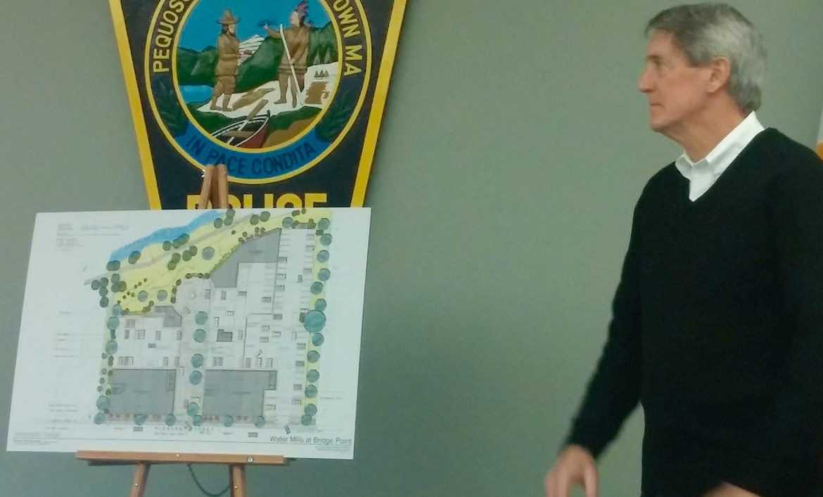
Terry Morris, attorney for the developer of 330-350 Pleasant St., shows a drawing of the complex which will have retail, a restaurant and residences.
The first project to go through the town’s revamped Pleasant Street zoning, and the review by the town’s design consultant went before the public Thursday night and the reception was very positive – especially compared to past projects on the Westside corridor.
The proposed Water Mills at Bridge Point mixed-use project would go at 330-350 Pleasant Street, and replace Casey Dupuis Equipment and Julian Crane properties on the south side of the street, near Rosedale Avenue. The new complex would have 20,000 square feet of retail, including a restaurant overlooking the Charles River, and 99 apartment units, according to Doug Annino, architect from Annino Inc. who is working on the project for developer Mark Coppola. (Click here to see preliminary plans).
Along with the restaurant, developers hope to attract a place to get coffee, such as Starbucks, Annino said. No restaurant has committed to go in the complex, but developers seek a family-style, sit down establishment.
Neighbors seemed interested in new retail and dining options in the area, but at least one was skeptical that they would become a reality.
“We have been promised this before, but I have never seen a restaurant, I have never seen retail in anything around here,” said resident Duke Arone. “To me retail is far fetched.”
Terry Morris, an attorney from Newton representing the developer, said the new zoning requires any project in the area to include a commercial portion, so, he said, they will have to find a way to make retail viable.
The residential units will be on the second and third floors, and the building will be 33 feet high, with pergolas on the third floor roof extending it to 41 feet tall. There will be two buildings, a smaller one on the left (looking from Pleasant Street) and the larger one on the right. In between the apartments on the second floor of the larger one, there will be a roof garden with walkways, a barbecue area and a fitness center, Annino said.
A 50-foot wide central court will serve as the main road, and also have sidewalks and places to park.
Parking, Traffic, Etc.
Most of the parking, however, will be on the ground floor, but underneath the residential sections, Annino said. Residents will have their own parking area, and to fit more cars, they will use scissor lifts that allow one car to be elevated and a second park underneath. The lifts are used in some buildings in the Georgetown area of Washington, D.C.
The project will have 201 spaces, which is more than 174 required by the town’s zoning, Morris said. This pleased some people, and frustrated others.
Town Councilor Aaron Dushku was disappointed to hear that extra parking was included in the project.
“There are a lot of good things about this project but you had my blood boiling when you said there are 25 spaces over the parking requirement,” Dushku said. “This is ground zero for the TMA (transportation management association). I don’t see a commitment to a car-free existence.”
Duskhu said the 25 spots could be more retail, another housing unit or open space.
The parking is needed for the project, Morris said.
“For retail to be viable, they need to have parking or else people are not going to go there,” Morris said. “Commercial’s lifeblood is parking.”
Nearby residents also said they want to make sure there is enough parking. Mary Ann Mulligan said she has seen overflow parking from other new buildings in the area on her street.
Residents pushed for the developers to have a shuttle to get people around, because there is no MBTA service for that section of Pleasant Street.
“If you don’t give other ways to do the things residents need to do, they will use their cars,” said resident Ilana Mainelli.
Town Council President Mark Sideris reminded the developers that one of the conditions for approval of project is a commitment to join the TMA being formed by the town. District D Councilor Ken Woodland, in whose district the project is located, said he has been meeting with other residential complexes in the area to get a shuttle running.
At the end of the central court is a cul de sac, which would be a good place to put a shuttle stop, Annino said.
Others asked for a path for bicyclists and pedestrians to connect to the Charles River Path from the end of the central court. Not all of the land in between belongs to the developer, said Annino, but they would work with the state Department of Conservation and Recreation to see if a path could be made. There will, however, be a path along the east edge of the property linking the Charles River Path with Pleasant Street.
The traffic study has not yet been completed, but there was some traffic data presented Thursday. The project will add 64 vehicle trips to the roads in the morning peak hour and 148 new trips in evening peak hour, said Ken Cram, traffic engineer from Bayside Engineering.
Cram acknowledged that traffic along Pleasant Street have backups in the morning and evening rush hours. The worst intersection is at Pleasant and Bridge streets which have grades of E in the morning and D in the evening, with A being the top grade and F the worst, Cram said.
Influence of New Zoning
The project has change significantly since it was first considered before the Pleasant Street Corridor District was rezoned, Annino said.
“Originally it had five or six story buildings planned, which people probably would have hated,” Annino said. “It has been scaled down and I think we came up with a better project. The scale and amenities are appropriate for the area.”
Developers met with Watertown’s design consultants from Gamble Associates, including David Gamble. He said the project has undergone some major changes (see Gamble’s recommendation report here).
Another significant change was at the end of the central court, which originally dead ended into parking rather than having a circle with perhaps a fountain decorating it.
Woodland said the developers have been very forthcoming, and even provided drawings and information to the town’s Planning Department, which put it on the town website two weeks before Thursday’s meeting.
The project has not yet been submitted to the Planning Department.

Great…. we need a BBQ place in Watertown !!
Having not attended the meeting, I’m simply going by page 1 of the plans. The accessible parking is noted as 2 out of 121 for the residential and 2 out of 80 for the commercial. Per the MA HP parking regulations, I understand that the ratio should be 5 out of 121 and 4 out of 80, or at a minimum, if combined, 7 out of 201. Am I wrong?
Yes, my blood was boiling and it was a frustrating feeling given all that we’ve been talking about in town in the past year BUT, the detail about the stacked/scissor parking didn’t emerge until the very end of the meeting and this changes everything. This is a very innovative idea and will allow the developer to dedicate more space to other things. There are still improvements to be made but I want to go on the record as saying this.
Thanks, Charlie for the punctual reporting and hyperlinks to the information.
UGH! The traffic grades of E and D!!(and I’m wondering if they also looked at the only other cross over by Stop and Shop/Waltham Apts)..These two areas are packed with cars during rush hour both ways. It can take 20min just to go over the bridge and get onto Pleasant from Newton side..which we can walk in 5 leisurely. So my question would be: What to do about all the additional cars…do we go from E to F and D to F? What can be done to help facilitate the traffic!?